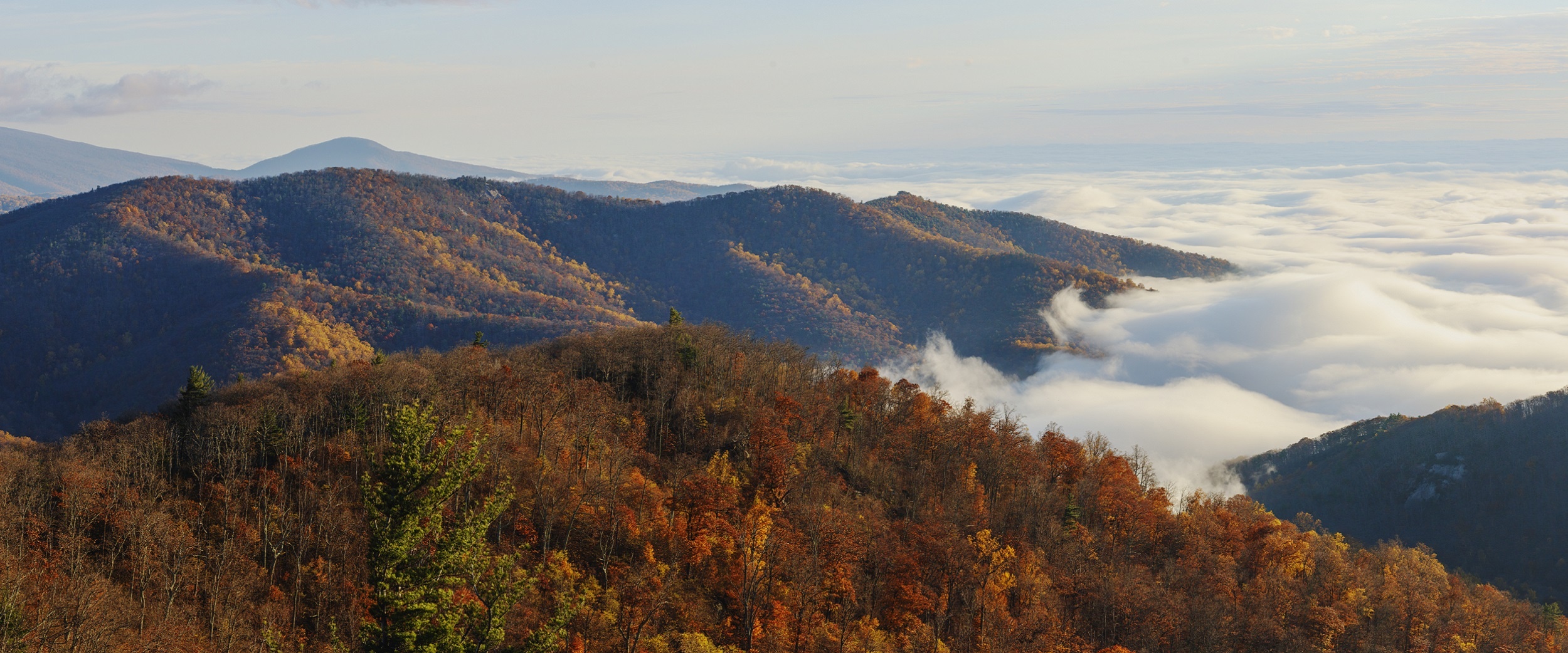
Timing when to find peak fall color in the Shenandoah Valley is not a precise science – it will be sometime between mid-October and mid-November. Several consecutive warm, sunny days and cool, crisp nights when temperatures are above freezing result in the most vibrant leaf color. Rain, or lack of it can have a significant impact on fall color as well.
Planning where to find fall color is easier, and the locations below are among the best bets in the Valley. And even if you miss the peak in these areas, you can still count on splendid Blue Ridge Mountain views and enjoy the many outdoor pleasures they offer.
Shenandoah River/Andy Guest State Park
Located between Front Royal and Luray, this 1600+ -acre park takes beautiful advantage of the Shenandoah River and the Blue Ridge Mountains. Come for the leaves—but stay for the hiking, the mountain biking, the horseback riding, the canoeing or the ziplining. About five miles of shoreline border the South Fork of the Shenandoah River and a small-boat launch is busy on weekends with canoeists, kayakers, rafters and tubers. More than 24 miles of well-marked trails take you on level ground by the river or up steep inclines to ridgetop views.
The park is open year-round; it has tent sites, three yurts, four bunkhouse cabins, regular cabins and a lodge. For more information or to make a reservation, you can go here or call 1-800-933-PARK (7275).
Getting there: From I-81 North, take exit 300 onto I-66 East. From I-66, take exit 6. Turn right off the ramp onto 340 South. Follow 340 South through Front Royal, then drive eight miles to the park’s entrance on the right. From I-81 South, take exit 264 to New Market and Luray. Turn right off the ramp. Turn left at the second stoplight, go one block to another stoplight and turn right onto 211 East. Stay on this highway for 15 miles, where you’ll take a right exit onto 340 North. Drive about 12 miles to the park’s entrance on the left.
Shenandoah National Park
Whether you tool along by car over the 105-mile Skyline Drive, or take a hike on one of the Park’s 500+ miles of trails, autumn beauty will surround you in October and early November. The 75 overlooks offer unforgettable views of the Shenandoah Valley to the west and Virginia piedmont to the east. A single vehicle entrance fee is $30, good for seven consecutive days. Other fees apply for motorcycles, individuals walking or cycling in, and commercial tours. November 11, Veterans Day, is a “fee-free” day.
To stay overnight in the Park, especially in October, means making reservations early. See Shenandoah National Park lodging options here. Several “waysides” sell groceries, wood and camping supplies. Be aware that the only gas station is at Big Meadows Wayside, Mile 51.2. (The Wayside just recently re-opened after extensive renovations.)
Keep an eye on the changing leaf color by monitoring fall color reports or watching the SNP Mountain View Webcam.
Towns to Visit Nearby:
Front Royal
Luray
Harrisonburg
Waynesboro
Getting there: There are four entrances to Shenandoah National Park.
Front Royal, accessible via I-66 and Route 340
Thornton Gap, accessible via Route 211
Swift Run Gap, accessible via Route 33
Rockfish Gap, accessible via I-64 and Route 250 (Rockfish Gap is also the northern entrance to the Blue Ridge Parkway)
Douthat State Park
Located about 35 hilly miles northwest of Lexington, near Millboro, the park is on the National Register of Historic Places, and it is one of the original six Virginia State Parks, all of which opened June 15, 1936. In addition to its mountainous natural beauty, a long list of amenities, features and opportunities have made Douthat a popular family destination since inception. Two of its major draws: (1) A 50-acre lake and four miles of stocked stream fishing; and (2) 43 miles of trails to hike, mountain bike or ride horses. The leaf color is enhanced by waterfalls, scenic overlooks and seclusion. Many of the trails– plus cabins, a dam and other facilities– were built by about 600 members of the Civilian Conservation Corps between 1933 and 1942. Thirty-two cabins and three lodges are available for extended stays.
Getting there: From I-64 and I-81 North of Lexington: Follow I-81 south to exit 56 and exit 191 onto I-64 west (Clifton Forge). Follow I-64 west to exit 27, turn right onto Route 629. The park entrance is two miles farther; guest registration is another four miles. Register at the green-roofed building on the right. Drive time from Lexington is 35 minutes.
From I-81 South of Roanoke: Follow I-81 north to exit 150B (220 North, Clifton Forge). Bear right onto U.S. 11 south, then turn right at first light onto U.S. 220 north. Follow U.S. 220 north. After passing through Iron Gate, take the first exit to the right (Covington). Once on the three-lane road (Exxon on your right), continue under the interstate. This road becomes Route 629, which leads into the park. Its entrance is two miles farther; guest registration is another four miles. Register at the green-roofed building on the right. Drive time from the intersection of I-81 and 220 north is 55 minutes.
The Blue Ridge Parkway
From this one, marvelously scenic road, you cannot only see the visual splendor of autumn color—you can find historic sites, vineyards, outdoor adventure, arts and entertainment, big city excitement and small town charm.
But as for the leaves– elevations on the Parkway vary from 600 to 6000 feet. You will see views of mountains above and below you and unbroken scenery for miles in all directions. If you travel any distance along the BRP in mid- to late October, you are very likely to see beautiful color. Peaks of Otter Lodge, located a mile 86, is the only lodging available on the parkway in Virginia.
The Parkway is 469-miles of scenic beauty, provides access to 369 miles of trails and passes 14 visitor centers. More than 14 million people visited it in 2018. Year in and year out, the Blue Ridge Parkway is at or near the top of the most popular units in the National Park System.
Getting there: The Parkway connects the southern end of Skyline Drive near Waynesboro, VA (Milepost 0) with Great Smoky Mountains National Park, near Cherokee, NC (Milepost 469). Get maps or mobile apps to help you navigate the Parkway here.
Finally, check in with the Virginia Tourism Corporation’s Fall Foliage Hotline at 800 424 5683 for updates on where the color as fall progresses.
Banner photo of Buck Hollow in Shenandoah National Park, courtesy NPS


